Exclusive and free to CIHT members. Get ahead with concise analysis of a range of topics.
4 June, Royal Lancaster Hotel, Lancaster Terrace, London W2 2TY
>>> Join us at the Awards Ceremony
Justin Ward from CIHT interviewed Amanda Richards, the Chair of the Road Condition Management Group (RCMG) that is part of the UK Roads Leadership Group. Amanda is Assistant Director Highways, Network and Asset Management at Surrey County Council
Justin Ward
As the Chair of the road Condition Management Group, the group's been working on for a number of years - I think the late Steve Berry looked at this a long time ago - about bringing in, allowing for, new technologies to be brought into the market for measuring road condition beyond the scanner system.
Amanda Richards
It’s something that that the RCMG (Road Condition Management) has been talking about probably for about 10 years that because, as you know, as new technologies started coming out and started to be being used we got to the point where there wasn't consistency, although most authorities still did scanner and the majority of authorities who were doing unclassified road surveys were still using CVI (Coarse Visual Inspection survey).
That they got to the point where a larger number each year of authority started using video technology instead of those. And the issue with that is that then you don't have the consistency because they're measuring to their own standards in terms of the technologies because there wasn't a standard they could be measured to.
And then you've got the more traditional UKPMS surveys measured to a standard. So, when people were putting their data into DfT you didn't have a consistent level. You couldn't necessarily measure one authority's condition against another because they were using different technologies.
Probably about two or three years ago, DfT got some budget and impetus to set up this project to develop a new data standard which is system agnostic. So, although the scanner specification - is in theory an agnostic specification - anyone could build a machine that could work to that standard, but because it was quite specific it didn't allow for any other types of technology.
The new data standard is not as detailed: what it provides is a broad brush understanding of condition on a network level, which DfT can use to compare one authority against another or to highlight the overall condition of the network in England.
But then those different technology providers will also, to varying levels, provide their own data in addition to what the data standard requires, which is more what local authorities will use for their asset management purposes and to determine where they might want to do a scheme or where they might want to investigate further.
It's that that whole piece, having that consistent data so everyone is working to the same standard, but also having these different technologies so that they can collect data, different data and data in a different way. For example, the video technologies can give you information on signs and vegetation and street furniture, whereas the scanner you were just getting the data on the roads.
So although DfT are only asking you still for the data on the road, those wider technologies can get you an awful lot of different data, which is going to be really helpful for authorities.
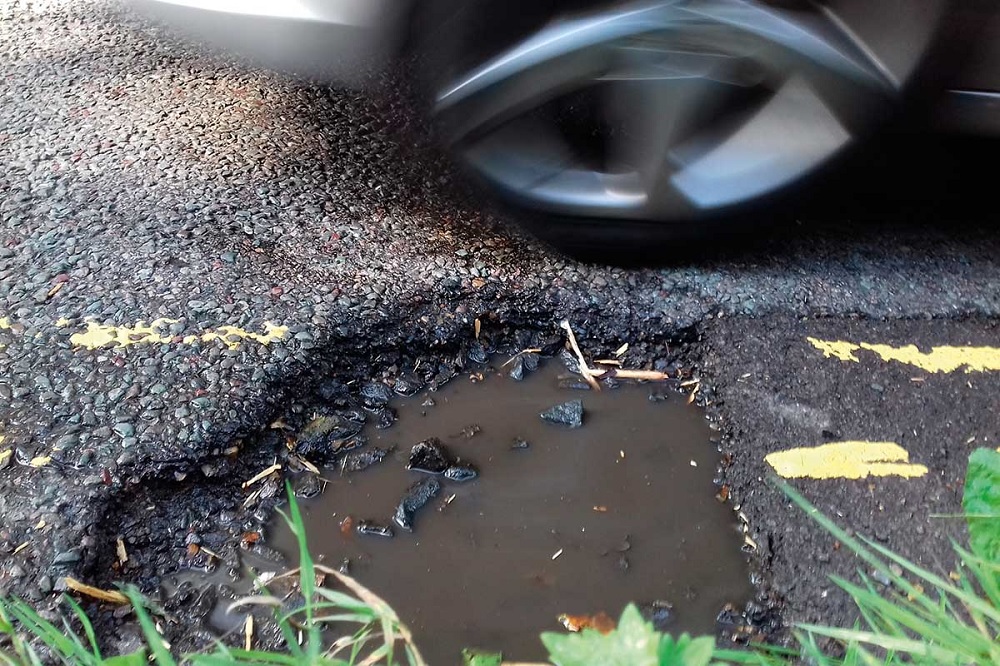
Image of pothole - there is the increasing use now of AI to predict location and development of potholes
Join other savvy professionals just like you at CIHT. We are committed to fulfilling your professional development needs throughout your career
{{item.AuthorName}} {{item.AuthorName}} says on {{item.DateFormattedString}}: